The first steps in a photojournalist’s yearlong return to the wilds
Editor’s Note: Revisiting the Deam is a monthly collaboration with the Limestone Post, where this piece originally ran on Feb. 24.
I chose Panther Creek Hollow for the initial steps into this new Limestone Post series on my return to the Deam Wilderness and surrounding Hoosier National Forest backcountry for reasons beyond its unparalleled wildness.
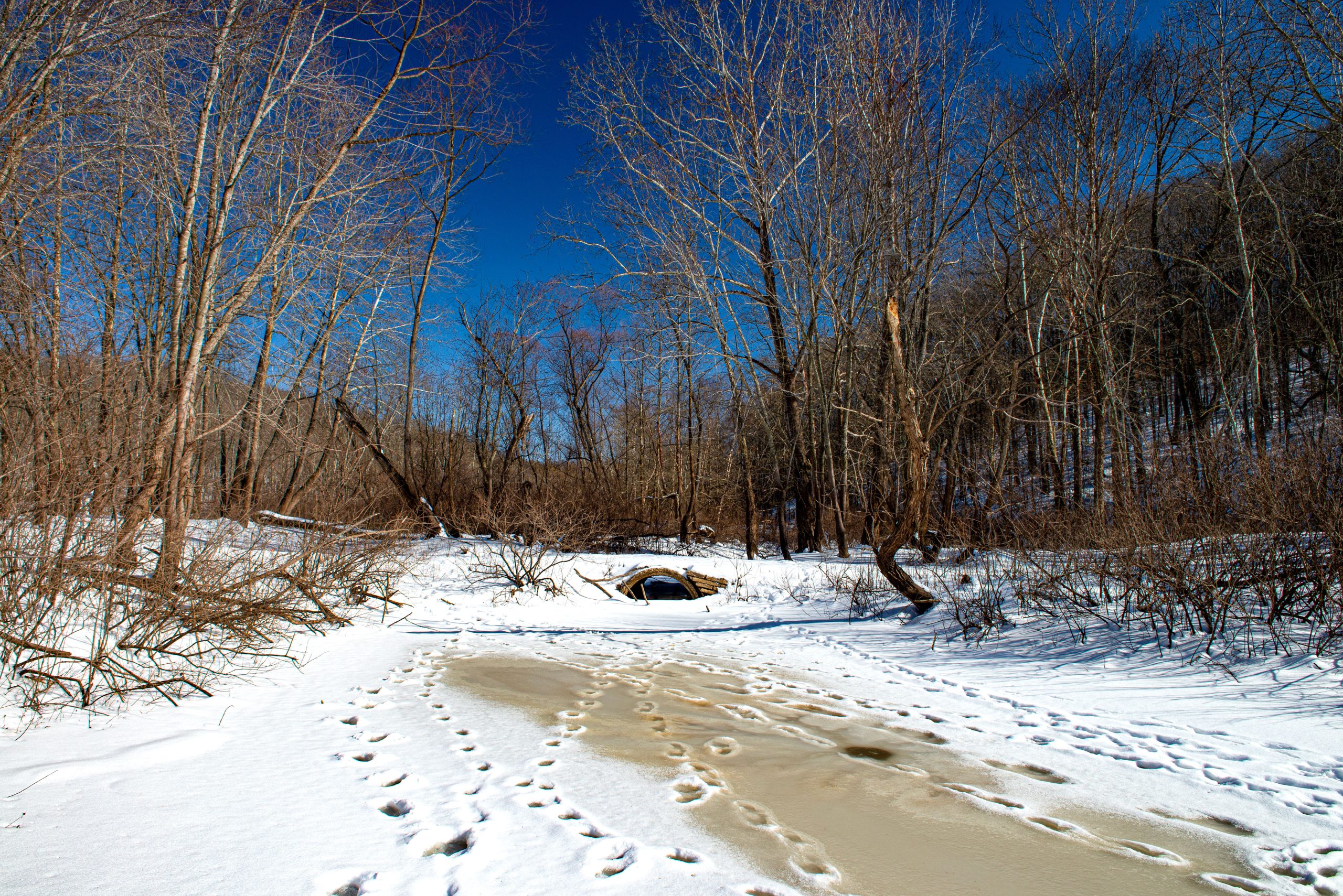
Running east from its confluence with Crooked Creek below Miller Ridge in Southwest Brown County, feeding the Middle Fork of the Salt Creek less than a half mile downstream, Panther is indeed as deeply remote as anywhere in the Lower Midwest.
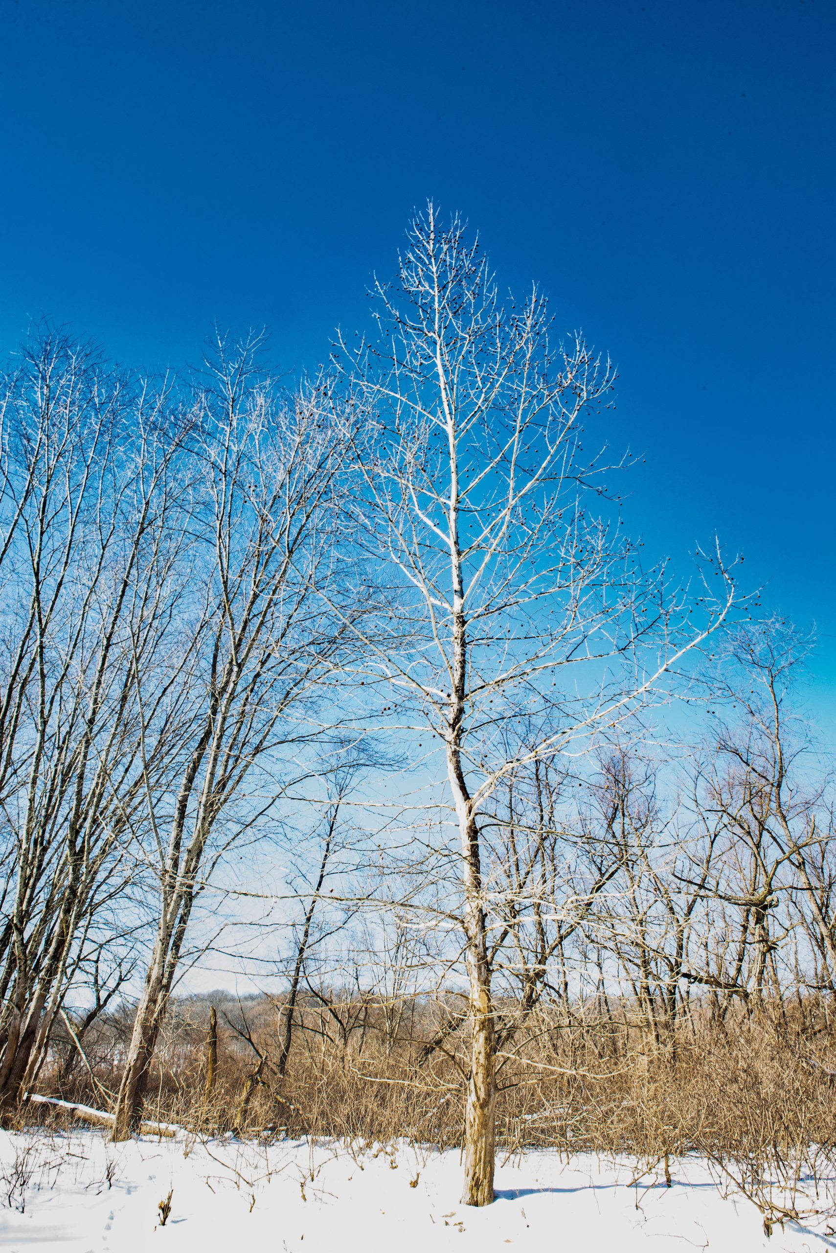
Its watershed is covered by deciduous hardwood forest that’s as old growth as forest gets in Indiana. It’s one of my favorite places on the globe, with a photographic history that dates back four decades.
But, more important for the introduction to this project, Panther Creek would become part of the permanently protected Charles C. Deam Wilderness under legislation that preservationists like Jeff Stant and the Indiana Forest Alliance (IFA) are pushing in Congress this session.
The Benjamin Harrison National Recreation Area and Wilderness Establishment Act would more than double the Deam’s acreage from12,953 to 28,253 acres and surround it with a 29,382-acre buffer called the Harrison NRA.
While Revisiting the Deam Wilderness will be organic, the plan is for a series of feature stories drawn from walks through and along its woods, creeks, and shorelines. Some may be solo, but most, if not all, will be with folks like Jeff – IFA’s Hoosier National Forest Program Advisor – who have particular knowledge of, or experience with, the wilderness and its proposed expansion areas.
The purpose is to help readers understand and appreciate wildness in Indiana and the once-in-a-lifetime opportunity to more than triple the Deam into a 57,635-acre wildlands complex dedicated to Lake Monroe Watershed protection and backwoods recreation: hiking, birdwatching, mountain biking, nature photography, hunting, horseback riding, etc.
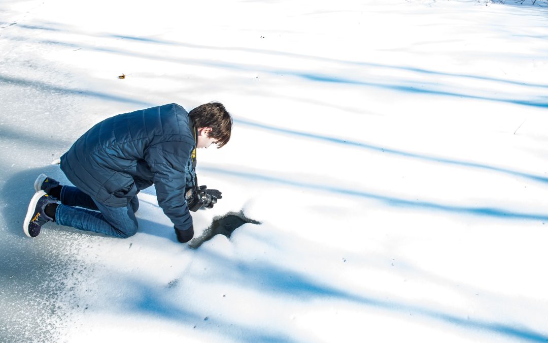
In the midst of a week-and-a-half long February deep freeze, I chose my 13-year-old grandson Vale as my first hiking partner to create a memory, of course. But also, because he has lived in the woods his entire life and is an expert of sorts. His estimate of the ice depth on Crooked Creek that frigid Saturday morning both preceded and matched mine – six inches.
For a column on the Deam area’s flora and fauna, we are planning a spring wildflower hike with retired Monroe County Naturalist and renowned expert on all things nature Cathy Meyer, who’s always been everyone’s go-to source on questions that are flora- and fauna-related.
To explore old-growth, Jeff and I are planning to hike to a particular stand on Miller Ridge, which looms above Panther Creek.
Jeff was the first executive director of the Hoosier Environmental Council and oversaw creation of the Conservationists Alternative that became the Hoosier National’s management plan in 1992. He has been a driving force for backcountry protection in Indiana for more than a half century and is leading the campaign to expand the Deam.
Our ultimate destination is a 300-year-old chestnut oak in Bad Hollow, about four-and-a-half miles southeast of Panther Creek.
On a personal level, beginning this project at Panther Creek was a homecoming of sorts.
I first photographed the hollow in the Kodachrome slide days of the late 1980s. It was the scene of my first grouse flush, an experience our friend Jeffrey St. Clair aptly compared to an IED exploding a few yards away: heart stopping.
Somewhere in my archives I have a slide of the sky that I captured standing inside a charred, Panther Creek sycamore tree that had been hollowed out by a lightning strike. I have found some closeups of yellow dog tooth violets I shot there in April 1987.
On a bioregional level, with the adjacent Brown County State Park and pieces of Morgan-Monroe and Yellowwood State Forests, Panther Creek and the Deam expansion area encompass some 75,000 acres of unbroken upland forest, the largest block of public lands in Ohio, Indiana, and Illinois.
The biodiversity is jaw-dropping. The Deam expansion alone has more than twice the number of tree species than the entire state of Washington.
Eco-politically, Panther Creek should have been designated wilderness when the Deam was established in 1992 but still hasn’t – at least just yet. East from the Crooked Creek boat ramp lie, in bureaucratic speak, Panther Creek Units 1 and 2, which would be added to the Deam in the bill that Jeff, Indiana Gov. Mike Braun, and a wide coalition of outdoor recreationists are again pushing in Congress this session.
The Harrison-Wilderness bill passed the U.S. Senate in the 2023-24 congressional session but died when House leadership killed a broader public lands bill that it was part of.
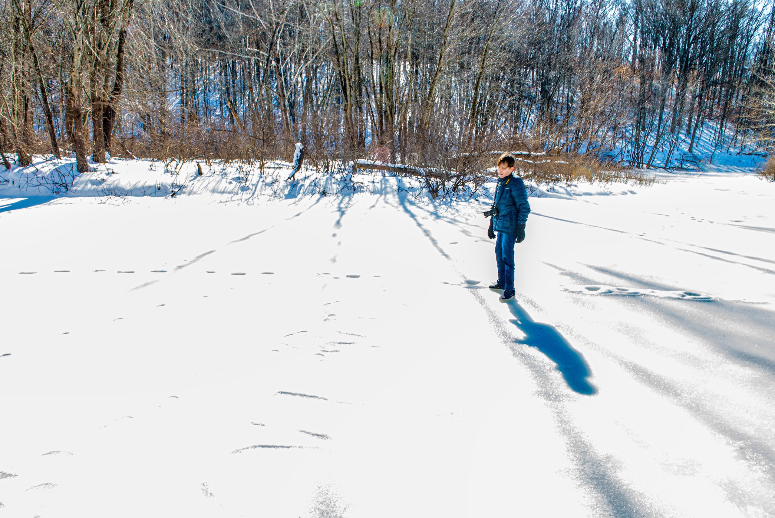
I had no illusions that we’d be able to walk into the Panther Creek Hollow when Vale and I plowed through the Crooked Creek parking lot snow in our black 2005 CRV to the two cleared parking spaces.
This excursion was a first, small step, a scouting trip, not a hike. The mission was to catch some photos of Panther Creek in the aftermath of a foot of snow and a week of below freezing temps.
We walked maybe 25 yards up the frozen creek channel that connects the ramp to the Middle Fork – until my boots got water in them – and turned back. I was out in the Brown County wilds, off the grid, with a 13-year-old under my care, walking on a creek bed with six inches of solid ice. It was not a time for reckless grandpa behavior.
Along the short way, however, I took a few, cautious steps up the Panther Creek Hollow and into the Revisiting the Charles C. Deam Wilderness project.